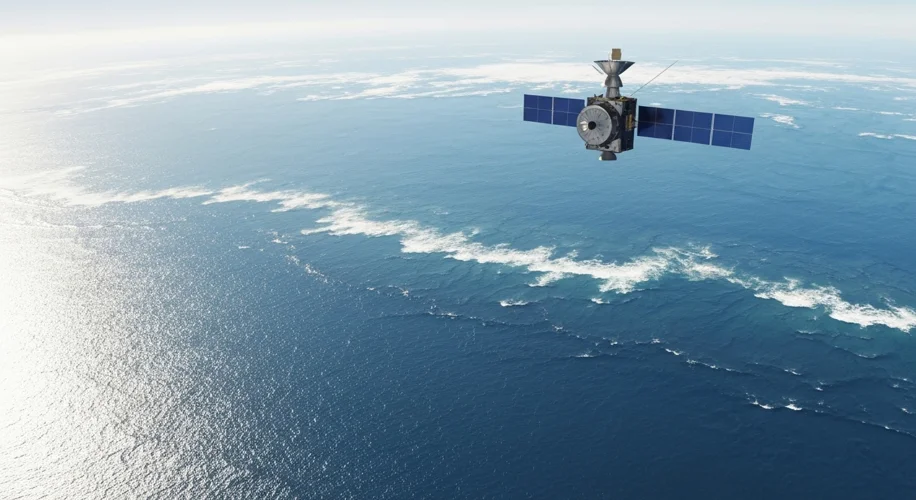
Did you know that scientists have been using satellites to track our planet’s oceans for about 30 years now? It’s a pretty incredible feat of technology, and it’s giving us some really important insights into how our climate is changing.
Back in the day, when climate models were first being developed, scientists made predictions about how much sea levels would rise as the planet warmed. These were based on our understanding of how ice melts and how water expands when it gets warmer. But of course, without decades of data, these were still projections.
Well, guess what? Today, August 26, 2025, we have 30 years of continuous satellite data, and it’s showing something pretty remarkable. The observations are largely confirming those early predictions. This isn’t to say climate science is perfect, but it does show how robust and well-founded those initial models were.
So, what does this mean for us?
Why Sea Levels Are Rising
There are two main culprits behind rising sea levels:
- Melting Ice: As global temperatures increase, glaciers and ice sheets in places like Greenland and Antarctica are melting at an accelerated rate. This meltwater flows into the oceans.
- Thermal Expansion: When water heats up, it expands. As the oceans absorb a lot of the excess heat from the atmosphere, the water itself takes up more space.
What the Satellites Tell Us
Satellites equipped with altimeters can measure the height of the ocean surface with incredible precision. By looking at this data over decades, scientists can see a clear trend of rising sea levels globally. They can also pinpoint areas where the rise is happening faster than others.
This consistent data provides a critical, real-world check on the climate models. It helps scientists refine their understanding and improve future predictions. It’s like having a detailed map that you can constantly update with new observations.
The Impact on Our Communities
While the science is fascinating, the implications are very real, especially for coastal communities. Higher sea levels can lead to:
- Increased Flooding: More frequent and severe coastal flooding during high tides and storms.
- Erosion: Beaches and shorelines can be washed away more quickly.
- Saltwater Intrusion: Saltwater can seep into freshwater sources, affecting drinking water and agriculture.
This is a challenge that disproportionately affects communities that are already vulnerable, often due to historical and ongoing systemic inequities. We need to be thinking about how to support these communities as the coastlines change.
Looking Ahead
The confirmation from 30 years of satellite data isn’t a cause for alarm, but it is a call for continued attention and action. It reinforces the importance of understanding our planet and making informed decisions. It’s why I’m so passionate about making this science accessible – because when we understand the facts, we can better prepare for the future and work towards solutions that protect us all.

