
As someone who studies our planet’s atmosphere and climate, I’m always excited about new ways we can better understand and predict the forces that shape our world. Today, I want to talk about a fascinating collaboration between NASA and the European Space Agency (ESA) that could make a real difference in how we forecast hurricanes: the joint sea level observation mission.
Did you know that hurricanes are fueled by warm ocean waters? The temperature and height of the sea surface play a crucial role in how intense a storm becomes and where it might track. Historically, measuring sea level and ocean temperature across the vastness of our oceans has been a challenge. While we have buoys and ships collecting data, these are limited in scope and frequency.
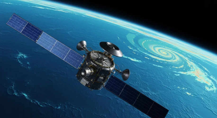
This is where space-based observation missions come in. The upcoming NASA-ESA sea level mission is designed to provide a more comprehensive and accurate picture of our oceans than ever before. Using advanced altimetry technology, satellites will continuously measure the height of the sea surface. Why is this important for hurricanes? Because changes in sea surface height are often linked to variations in ocean temperature and currents.
Here’s what we can learn from this mission that’s particularly relevant to hurricane forecasting:
- Warmer Waters, Stronger Storms: By monitoring sea surface temperatures and identifying areas of unusually warm water, forecasters can get a better idea of where hurricanes might intensify. This mission will give us more detailed, global data on these critical heat reservoirs.
- Ocean Currents and Track Prediction: The mission will also help us understand ocean currents better. These currents can steer hurricanes, and a more precise understanding of them can lead to more accurate track forecasts. Imagine knowing with greater certainty if a storm is likely to curve away from the coast or head directly towards it.
- Understanding Sea Level Rise Impact: While not directly about forecasting individual storms, the mission’s data on global sea level rise is crucial context. Higher sea levels mean storm surges, a dangerous aspect of hurricanes, can reach further inland, exacerbating their impact on coastal communities.
In my experience, accurate forecasting is not just about predicting wind speeds or rainfall; it’s about understanding the complex interplay of atmospheric and oceanic conditions. This joint mission represents a significant step forward in gathering the crucial oceanographic data needed to improve our predictive models.
For those of us concerned about the impacts of climate change, especially on vulnerable coastal populations, better hurricane forecasts mean more time to prepare, evacuate, and protect lives and property. It’s a reminder that scientific collaboration and technological innovation are vital tools in adapting to our changing climate.